InSAR Satellite for Terrain Motion Mapping
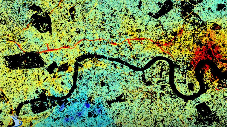
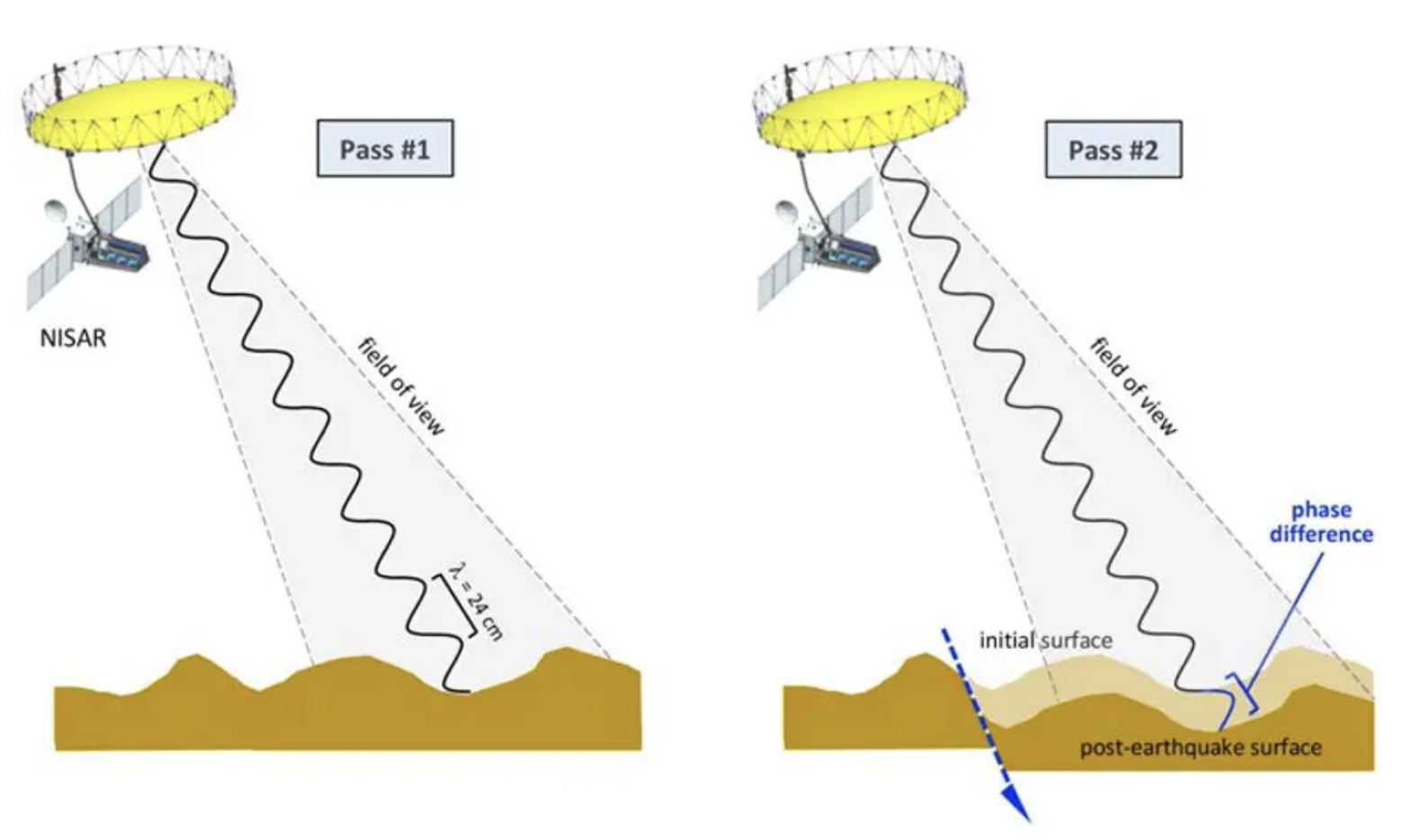
This project report covers the purpose, application, and implementation of a space-borne interferometric synthethic aperture radar (InSAR) satellite. The primary purpose of this system is to monitor terrain motion and land subsidence in urban areas, which can result from tunnels, sinkholes, structural loads, or other geological shifts. System requirements are determined through an application analysis, followed by a detailed implementation proposal outlining key radar parameters. \[ \text{SNR} = \frac{P_t\tau A^2\sigma}{4\pi R^4\lambda^2kT_0F_sL}\]


